Wednesday, April 8, 2020

In Which I See the Snake of Hope

Sidewalk on Council Street--lots of little pieces of wood on the sidewalk.

Easter decorations seen on the ride.

Hope appeared on the bike trail several times today.

I rode west from my house into the town of Hiawatha to get to the Cedar Valley Nature Trail. My plan this morning was to ride north. I briefly had toyed with the idea of doing the ride to Center Point, 13 miles away, but I did not have time for a 30-mile round trip, and besides, there was rain in the forecast midday.

In front of my house and along other stretches early in my ride, the pavement was clogged by many downed twigs, ends of branches ripped off trees by a hailstorm yesterday.

If I didn’t have time to ride all the way to Center Point, at least I could do the shorter one to Layfayette, a tiny village 7 miles north on the trail. In past summers, after storms, there has been a lot of debris on this trail—but not today. I assume I must live near the northern edge of the hail damage, as the trail was quite clear going north.

Near Robins. Time to deploy face cover.

Lafayette. Impressive sign for tiny village.
The day was fine, a bit cooler than yesterday, but nice. In Robins, a suburb just north of Cedar Rapids, the trail was a bit busy, and I put the bandana over my face as I rode that stretch. It cleared out north of town.

Bike wheel gate in Lafayette.


Signs of the pandemic, restroom closed sign (above) and abandoned bike gear on table (below).


When I go to Lafayette, someone has chalked messages on the trail—something I’ve noticed in other stretches in Cedar Rapids, too. “Hope” is said at the turnaround point of my ride. Also “wash your hands.” Both good advice.

Bike near the end of the ride in Lafayette.

Advice from the trail, above and below.


I rested for a minute and then headed back south. I had not gone very far, was just crossing the first road, when I noticed a rather bendy looking stick. Maybe not a stick? So, I stopped to look.

A snake! Well, in my part of Iowa, these snakes aren’t rare and aren’t dangerous. In fact, as a gardener, I always assume snakes are a good omen—they eat insects. If Genesis had been written by a Midwestern gardener, the snake would have been an angel that hadn’t fallen, and the part of Satan would be played by a rabbit.

Snake on the trail (above and below).


Two sky views (above and below)

Well, I hope you don’t get squished by a biker, serpent of hope. Somehow, a spring ride just feels much nicer when I find a snake. Maybe it was a good omen. Once again, the skies started to cloud up, and midday rain did fall—well after I had gotten home.


Daffodils in a yard seen on my way home.

The bike computer mystery: If I start and end at the same point, why do feet climbed and feet descended not match?

Corner of Council Street and Boyson road--I'm headed north to 74st Street bike lane. Sky starting to cloud up--rain coming, but not before I get home.


Tuesday, April 7, 2020

In Which I Avoid Ice, Ice Baby

Daffodils (above and below) at Bowman Woods School. I'm passing by, riding in the bike lane on Boyson Road on my way to the Boyson Trail in Marion.


In a cul-de-sac at the end of the trail, a blooming magnolia in someone's front yard.
It was a summer like day in Iowa this Tuesday—the last warm day we’ll have for a while, according to forecasts.

I was busy most of the day, and it was late in the afternoon before I was able to get a short ride in. I was wearing shorts for the first time, as it was in the upper 70s.

The sunny late afternoon was muggy. It felt like a warm June day, but blooming daffodils and magnolia-as well as the still bare large trees—reminded me that it was still spring.

I went over to the nearby Boyson Trail in Marion, which was fairly busy. I was wearing my bad biker boy bandana, and did my best to keep good distance. I saw at least one group of Frisbee golfers, five men clustered like a Petri dish for the pandemic.

Exercise stations (and playgrounds) closed at Hanna Park in Marion.


Well, the day was still pretty. I took the side trail that leads to Menard's, and saw some new signs announcing, for example, that Cedar Lake is just a few miles away.

On a trail that is going to be built in the future. The signs, apparently, come first. Well, the trail may be here in 2022 or 2023, according to The Gazette.
4 miles to Cedar Lake. 100 Yards to trail's end.

As I finished my loop, riding briefly on Grand Avenue in Marion to get back to the end of the Boyson Trail, storm clouds gathered in the north. The sky was mostly open and blue, but the lights and clouds started to get interesting.

When I got to the Lindale Trail, rain started to fall. Luckily, it was just a sprinkle, but there were distant booms to indicate something more was coming. It sprinkled, and then cleared, and then, as I got near home, sprinkled a bit more insistently.

I got home, put my hybrid bike in the garage, and started cooking supper. Rain started to fall in earnest, and I went out to the sunroom to watch, when suddenly the sound level shot up and the drumbeat of rain became the profound banging of hail.

I was glad to be home. A few raindrops fell on my head, but I wasn’t out there for the big chunks of ice.


At south end of Boyson Trail, what had been blue sky is suddenly getting a bit too interesting.

Around the corner from the sign that tells me Cedar Lake is not that far, the trail ends. Well, plans are advancing to finish this trail, which will be great when it happens.

Shadows in woodsy area of Boyson Trail.

Lindale Trail, heading towards home.

End of the Lindale Trail. I've already been rained on, and more will start soon.

Short ride, 7.7 miles in 48 minutes.

About to enter neighborhood of the magnolias on Grand Avenue in Marion, noticing the sky mountains creeping in.

Thursday, April 2, 2020

In Which I Visit a Socially Isolated Buffalo

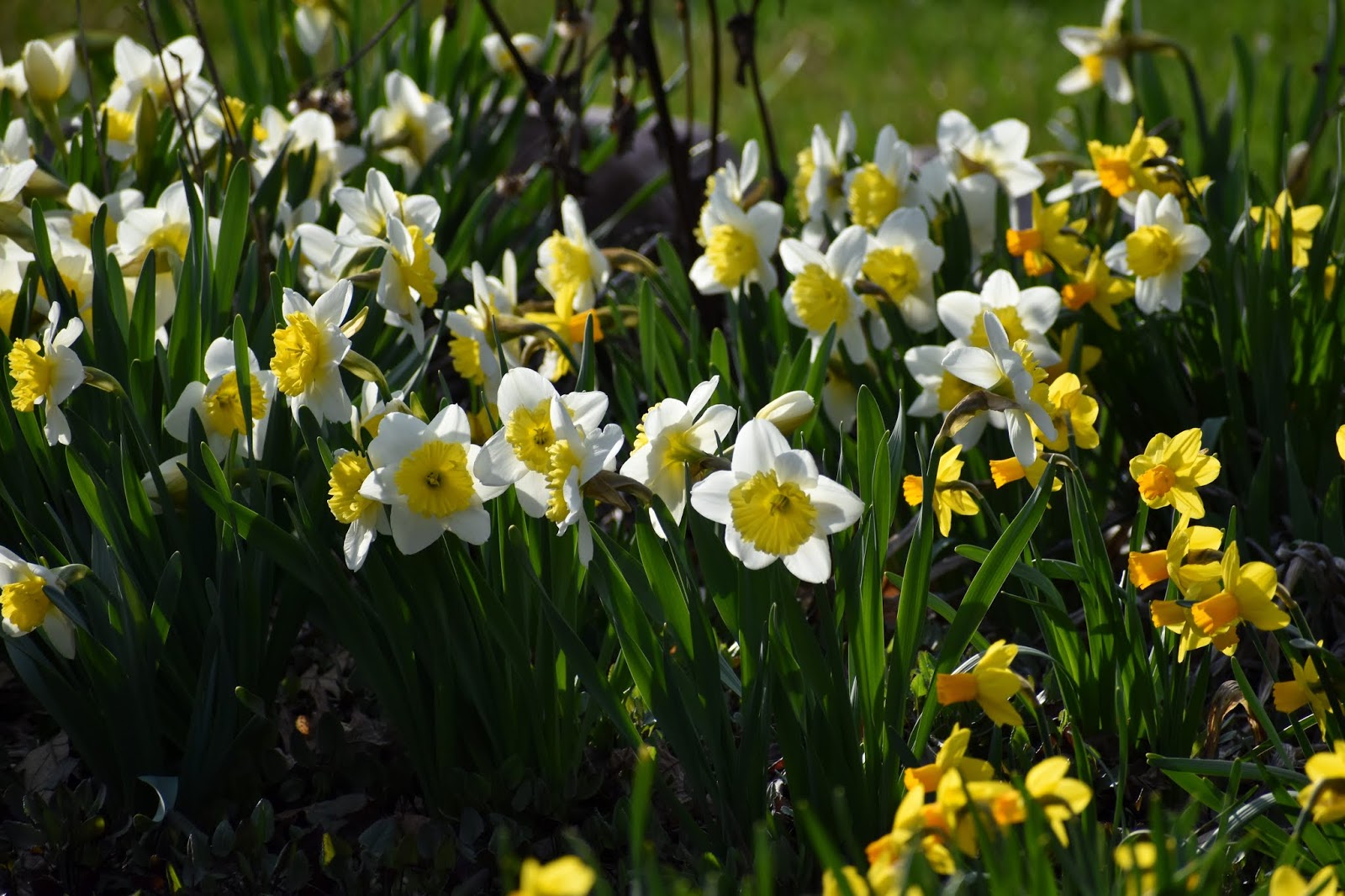
Paved trail in Marion that leads to The Grant Wood Trail.
Earlier this week, on a midday walk, my wife and I went to Waldo’s Rock, a city park in Marion, Iowa, that connects to The Grant Wood Trail.

We walked on the trail towards Marion, Iowa, and noted that, in the several years since we had ridden our mountain bikes on that trail, the connection to Marion has been extended. We drove back home, and kept cutting over on side streets to see how far into Marion the trail went.

It got to some streets I knew I had ridden my bike on before—in other words it seemed like I should be able to reach The Grant Wood Trail, a pretty cool, underused trail on the east side of Marion Iowa going into Linn County, from my house in Northeast Cedar Rapids. Via bicycle.

And today, much to my chagrin, it rained. Not heavily, but I wondered whether I would get a ride in. That, and I was working a lot today, too.

But by 3:30 or so in the afternoon, I was losing steam and the sun was shining, and I figured, what the heck? I had to work several hours tonight to make up for it, but I decided to give the trail a try.

I would have used my mountain bike, knowing this is not a fully paved trail, but I have not had its broken spoke fixed yet. Technically, I could probably replace a spoke, but I don’t trust myself to true a wheel, so there you have it.

So I decided to ride the hybrid bike. I aired the tyres and lubed the chain. The pavement by my house was mostly dry, and the sun shining on a cool but pretty spring afternoon. About 4, I launched Project Grant Wood Trail.

I went up C Avenue to the Lindale Trail, and then took the Boyson Trail to the bridge that leads to the Marion Schools athletic stadium. From there, I rode down 5th Avenue. I am not sure what cross street I saw the yellow signs to my left indicating a trail crossing, but I’m pretty sure it was in the 30s. It was wherever that painted city tank is, if you know Marion that well.

The city connector trail that leads to The Grant Wood Trail is very nice—paved in blacktop and featuring warning lights at street crossings. I cycled past some light industrial areas to the edge of town that was countryside in the city. The trail has a tunnel under Highway 13, and that’s where the trail switches to concrete and Linn County.

Just after going under the highway, you pass a pond off to the left that is in a city park called Waldo’s Rock. The rock is is a big glacier boulder next to a pond. There is not a lot at the park, but if I was on a summer bike ride, it would be a good snack or picnic spot. After the turnoff to the park, The Grant Wood Trail switches from paved to gravel.

Some views of the first gravel area of The Grant Wood Trail.


Which was a bit rough, although thankfully not mushy because we had not had that much rain. I would have liked to be riding my mountain bike at that point, but the trail was doable on a hybrid. The first time I rode this trail, several years ago, this gravel part was rough grass, so gravel is a step up.

Along The Grant Wood Trail east of Marion, there is a small pond which is down an embankment from the trail. A sign on the trail identifies is as a peat bog where, 5,000 years ago, there was a small lake that was large enough for a big prehistoric buffalo, of a species since extinct, to drown in. The skeleton was found by a farmer who allowed geologists from the University of Iowa to excavate the bones and keep them.

The buffalo was socially isolated for 5,000 years. Fortunately, I’m confident our COVID-19 social isolation won’t last quite as long.

One small step for a buffalo--oops!
After several more miles, I came to a T intersection with a gravel road. I knew the trail was supposed to continue somehow, but I didn’t know where (Linn County, some signs here might be helpful). However, as I was eating a small snack, which I had brought with me, two older gentlemen rode by. I asked them where the trail continued, and they informed me I would have to go along a county highway visible to the right 100 yards or so down the gravel road.

Well, at first I thought I would not bother, but curiosity got to me, and after the snack, I carried on. I think the ride along the highway was probably less than a mile—down an incline to a bridge, up the next side, and then there was a parking lot on the left where the trail continues.

But when I pulled into the parking lot, I noted the next leg was grass. On my mountain bike, I may have been tempted to continue riding for a while, but I decided this was the end of the ride on the hybrid.

Some views from the turnaround point.


I was about 10 miles from my house. All in all, the ride clocked in at a bit over 20 miles. It was my first ride in a while when I didn’t need any lights and kept my sun glasses on. This daylight riding thing…it’s not bad.


More images from the ride:

On the way back, looking from county highway down the gravel road to the trail.

Returning to Marion.
Ducks fly overhead.

Bridge in Marion.

"Busy" street during rush hour in Marion during pandemic.

Traffic on Lindale Trail.

Computer at end of ride.

Far west end of trail at a roundabout in Marion. Yes song, anyone?
This part of the trail in Marion reminded me of riding in Norwich, England.


In the city, but feels very country.

Bridge

The road goes ever on ...

Where I thought the ride would end, but it did not ...

County highway.

Shortly after turning back towards home--horse poo on trail.

Pretty light back in Marion.

Lindale Trail.

End of the ride.